Lisbon Earthquake & Tsunami (1755)
On All Saints’ Day 1755, Lisbon shook, burned, and drowned: a massive subduction‑zone earthquake toppled churches, fires raged for days, and an Atlantic tsunami surged ashore. The catastrophe rattled Europe’s mind as much as its masonry. Voltaire questioned optimism, Kant studied quakes, and officials pioneered data‑gathering. Science learned that offshore ruptures can send basin‑wide waves. Politics learned to rebuild with risk in mind: wider boulevards, standardized “Pombaline” anti‑seismic frames, and early catastrophe insurance. Modern building codes, urban firebreaks, and emergency inquiries trace roots to that morning’s brutal, world‑changing lesson for cities.
Tambora Eruption (1815)
Tambora erupted in April 1815 with planet‑scale consequences: ash and sulfur aerosols vaulted into the stratosphere, dimming sunlight and nudging global temperatures down. The following “Year Without a Summer” brought crop failures, hunger, and migration from New England farms; painters prized eerie sunsets, and a stormy Swiss retreat gave birth to early science fiction. The physics are sobering and straightforward; sulfate veils reflect radiation for one to two years. The legacy endures: systematic climate records, leaps in volcanology, and enduring debates over food security, resilience, and whether geoengineering carries caution labels of a Tambora magnitude.
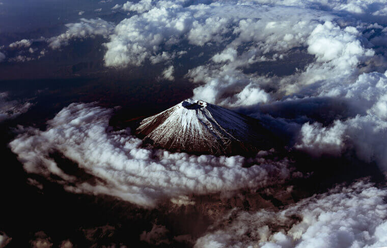
Krakatoa Eruption (1883)
In August 1883, Krakatoa detonated with a violence the world could hear; shock waves lapped the globe, tsunamis scoured coasts, and the island collapsed into a caldera. Telegraphs stitched the story together in near‑real time, creating the first truly global disaster narrative. High‑lofted ash colored sunsets for months, inspiring canvases and curiosity. Science learned about atmospheric pressure waves and light scattering; coasts learned hard lessons about surge. The legacy: international tsunami awareness, better seismographs, coordinated monitoring networks, and a template for how media and science travel alongside catastrophe for generations.
China’s 1931 Floods
In 1931, the Yangtze, Huai, and Yellow basins merged into one watery crisis as monsoon deluges, typhoons, and snowmelt overwhelmed levees. Cities fought disease as well as death; famine followed receding waters. The episode pushed governance toward continental-scale flood control, including dams, spillways, and zoned floodplains, and shaped public health campaigns. Science logged a compound event: saturated soils plus stalled rains outmatch walls. Today’s “sponge city” designs, river parks, and forecast‑based evacuations echo those lessons. The disaster redefined rivers as living systems rather than mere barriers, particularly during the monsoon season.
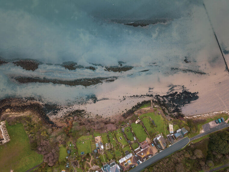
North Sea Flood (1953)
On a dark winter night in 1953, an intense extratropical cyclone met a high tide and climbed over defenses, flooding Dutch polders and England’s east coast. The tragedy spurred a generational engineering pivot: Delta Works and the Thames Barrier, plus modern surge modeling and warning culture. Science named the hazard compound flooding from storm setup plus astronomical tides. Communities learned drills; designers embraced movable gates and layered defenses. The legacy endures wherever sea meets city: plan for water to come in, not just stay out, especially as seas rise and storminess increases.
Valdivia Earthquake (1960)
Chile’s 1960 Valdivia earthquake remains the largest instrumentally recorded, a magnitude 9.5 megathrust that ripped along the subduction boundary and rang the Pacific. Coastal towns collapsed, landslides dammed rivers, and tsunamis raced outward, striking Hawaii, Japan, and beyond hours later. The sheer rupture length released extraordinary energy and made a persuasive case for plate tectonics and global seismology. Policymakers took notes: a Pacific‑wide tsunami warning system was expanded, sirens and protocols standardized, and building codes strengthened. The event taught cities to treat far‑field tsunamis seriously; hazards can arrive long after shaking stops, from oceans away.
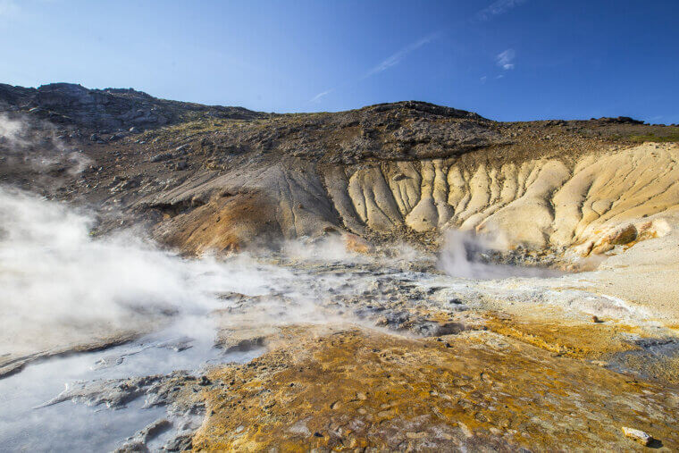
Mount Pinatubo (1991)
Mount Pinatubo erupted in June 1991, blowing a hole in Luzon’s sky and the climate record. Ash collapsed scores of roofs, lahars roared for years, and a vast sulfate veil spread through the stratosphere, dimming sunlight and cooling the planet measurably, exactly as climate models predicted. Military bases evacuated; communities relocated. The science win was sobering: volcanic aerosols can suppress global temperatures for one to two years. The preparedness win mattered too: hazard mapping, monitoring, and timely warnings by PHIVOLCS and USGS saved thousands, becoming a textbook case for multi‑agency volcanic response.
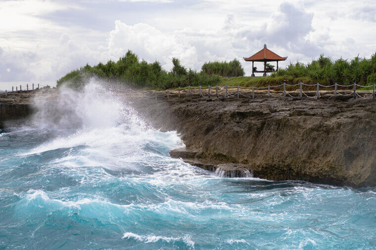
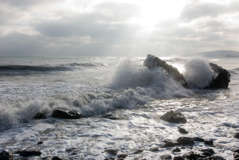
Indian Ocean Quake & Tsunami (2004)
On December 26, 2004, a magnitude 9‑plus rupture off Sumatra unzipped more than a thousand kilometers of seafloor, launching tsunamis that raced across the Indian Ocean. Coastal communities received warnings that lasted from a few minutes to several hours. The tragedy forced a global pivot: basin‑wide detection networks, DART buoys, evacuation signage, school drills, and playbooks for humanitarian surge. Science mapped travel times and exposure gaps; policy stitched countries into shared alerts. The legacy is practical and public: routes painted on streets, sensors on the seabed, and a collective memory that runs faster than waves.
Hurricane Katrina (2005)
In August 2005, Katrina drove an extreme surge into the northern Gulf, and levee failures turned New Orleans into a bowl of floodwater. The disaster revealed how social vulnerability shapes outcomes as much as meteorology. FEMA was overhauled, building standards tightened, and wetland restoration gained urgency. Scientists modeled compound flooding; broad wind fields combined with shallow shelves amplify surge, and planners adopted phrases like “managed retreat.” The communication playbook also changed, including more explicit warnings, transportation support, and an equity-first recovery approach. Katrina’s lesson endures: infrastructure, neighborhoods, and marshes must be designed to fail safer together now.
Tōhoku Earthquake & Tsunami (2011)
March 2011’s magnitude‑9 Tōhoku earthquake unzipped a long subduction fault, sending towering tsunamis ashore and triggering the Fukushima nuclear crisis. The waves crossed the Pacific, testing warning systems and supply chains from ports to automakers. Japan raised seawalls, built vertical‑evacuation towers, and layered coastal defenses; energy portfolios diversified at home and abroad. Scientists refined real‑time rupture imaging and basin‑scale models; smartphones began buzzing with alerts. The lesson was systemic: the interdependence of seismic, nuclear, logistics, and community readiness is crucial, as a single disruption can disrupt the intricate fabric of today's world.