Indian Ocean (2004)
A magnitude 9.1–9.3 megathrust quake triggered the 2004 Indian Ocean tsunami, which redrew shorelines from Aceh to East Africa. Parts of the seafloor popped up while nearby coasts slumped, moving beaches, cutting new inlets, and driving sand sheets far inland. Mangroves were scoured in some places and expanded in others, as natural engineers got busy. Villages relocated uphill; ports and fisheries were rethought; memorials now watch the tide. Scientists mapped crustal shifts using GPS and InSAR, then developed basin-wide alerts. Today, uplifted reefs, re‑cut lagoons, and rebuilt harbors quietly tell the story.
Tōhoku, Japan (2011)
The 2011 Tōhoku tsunami occurred after a magnitude 9.0 earthquake displaced the seafloor and caused parts of Japan to sink downward. The new lower shoreline allowed waves to run farther, scouring plains, reworking barriers, and shifting river mouths. Seawalls failed where design limits were exceeded, but coastal forests, dunes, and rice paddy berms sometimes softened the blow. The rebuild was layered, featuring higher districts, vertical-evacuation towers, overflow-friendly seawalls, and replanted pine belts. Real‑time alerts now pair with relentless drills. Elevated roads and rails trace new lines, a practical map of learned humility and memory.
Lisbon, Portugal (1755)
On All Saints’ Day, 1755, Lisbon’s earthquake and tsunami turned its waterfront into a cautionary sketch. Harbour surges wrecked quays, re‑sorted sandbanks, and erased warehouses. The rebuild embraced reason: a gridded Baixa on stronger, higher ground; wider streets as escape corridors; standardized Pombaline blocks with timber “gaiola” cages to flex during shakes. Commerce shifted to safer piers, and Enlightenment debates on risk outgrew superstition. Today Praça do Comércio and raised embankments show the pivot. The message endures: rebuild up and back, and always leave fast lanes for water to pass.
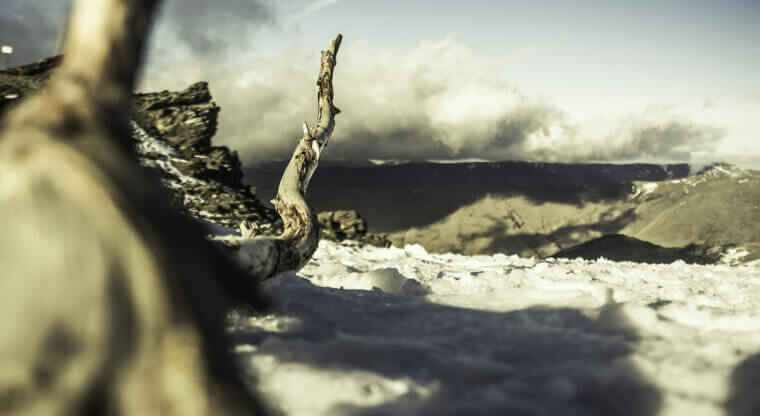
Krakatau, Indonesia (1883)
Krakatau’s 1883 eruption didn’t just shatter an island; it remixed the Sunda Strait. Caldera collapse triggered tsunamis that eroded coasts, carved new channels, and formed ash-covered flats. Villages relocated uphill, lighthouses moved, and mariners learned new routes. Scientists, noticing pressure waves circling Earth, began modern tsunami science, and global barometers became witnesses. Today, Anak Krakatau rises inside the sea‑filled crater, still editing bathymetry and hazard maps. Reefs colonize fresh lava. Coastal lesson: plan for compound hazards, because eruption plus seawater equals teamwork—waves, ash, and debris often arrive as one messy package together.
Cascadia, Pacific Northwest (1700)
The Cascadia subduction zone slipped silently in January 1700, sending a trans-Pacific tsunami that appeared in Japanese records without a local earthquake, a phenomenon known as an orphan wave. Along the Pacific Northwest, marshes subsided, cedar stands drowned into eerie “ghost forests,” and sand sheets crept inland, nudging river mouths. Indigenous oral histories preserved high-ground routes long before the advent of signage. Today, evacuation towers, restored dunes, and siren networks borrow that wisdom. Science stitched tree rings to chronicles, dating the event precisely. Moral for modern coastlines: map past water lines, practice the climb, and keep going.